Pioneer Street Extension Project
This project is now complete and open.
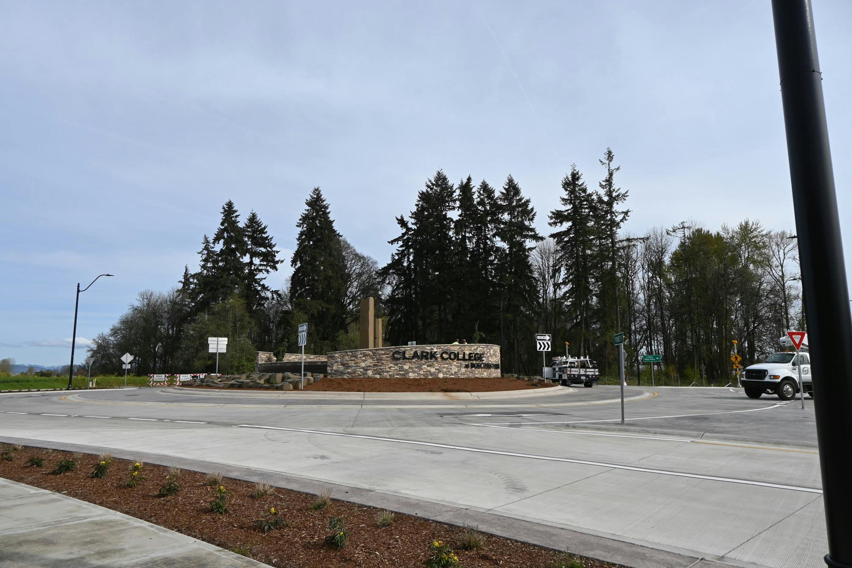
The Pioneer Street Extension Project extended Pioneer Street approximately 400 feet east to a new roundabout. A new road was built south to S. 5th Street and become a segment of S Union Ridge Parkway. A traffic signal was also added to the Union Ridge Parkway/S 5th Street intersection.
Project Background
The Ridgefield Junction industrial/commercial area has been planned, through the Ridgefield Junction Sub Area plan, to serve the long-term viability of this developing local and regional economy.
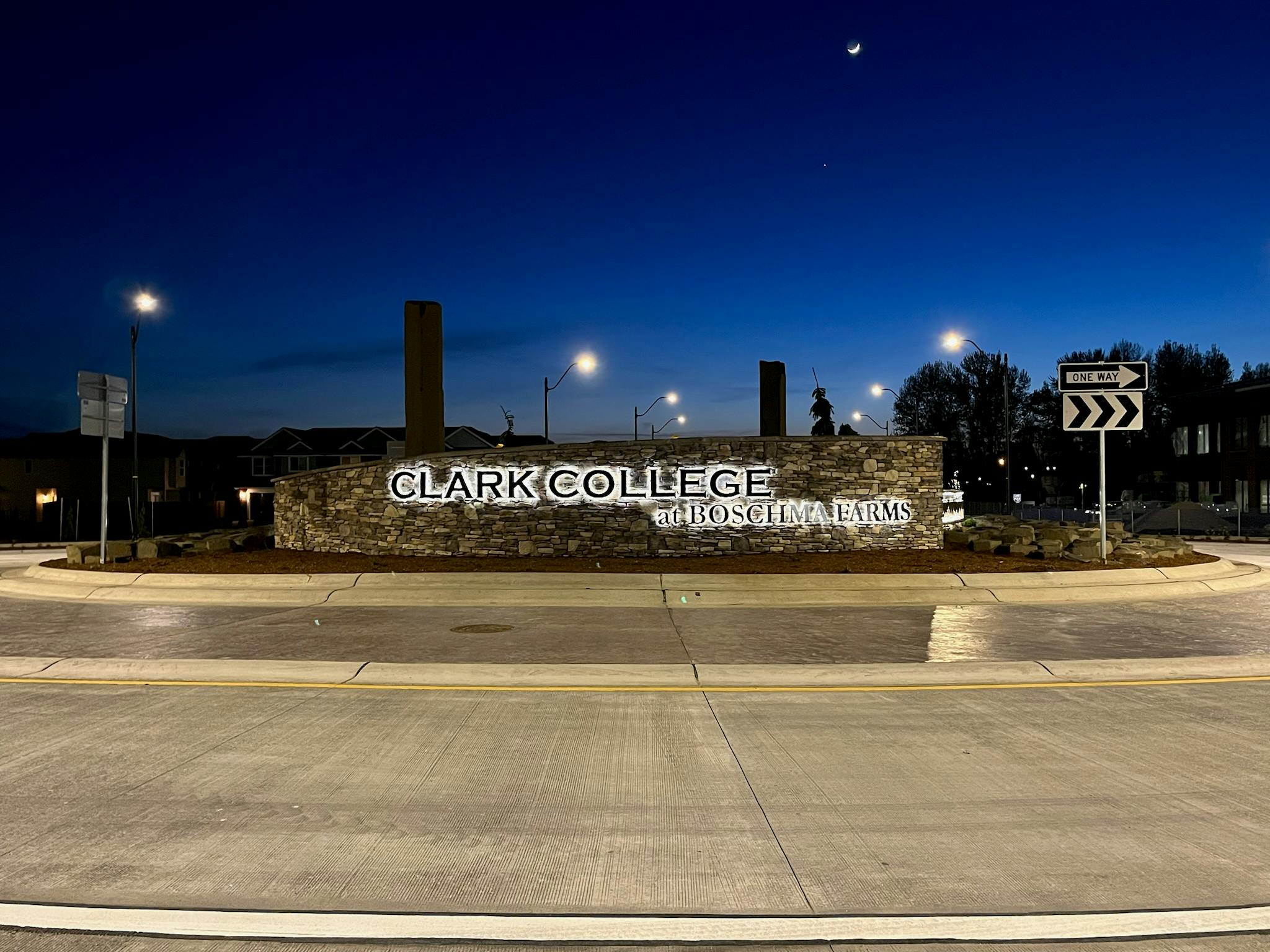
This project provides access to the new Advanced Manufacturing Center at Clark College’s Boschma Farms and acts as an arterial connection from I-5 to existing freight dependent businesses in Union Ridge Business Park. It increases traffic mobility and creates a safer road system in the area of Ridgefield Junction. The new sidewalks and crosswalks create a pedestrian facility that enables foot traffic to access all that the area has to offer.
Project Location
The interactive map below shows the Pioneer Street Extension Project location (shown in red) in context with Interstate 5 and the 5th Street Pavement Restoration Project (shown in blue). To expand the map, click the icon in the upper right corner. To zoom, use the + and - icons in the bottom left.
Please submit your questions about the Pioneer Street Extension Project here. Questions will be directed to the appropriate staff and responded to as soon as possible, usually within a few days.